One of the overarching goals of the mySMARTLife interventions is to increase the capacity and motivation of citizens to participate in the low carbon city transition. Sharing precise and timely open data in a user-friendly format is an important method to facilitate participation and co-creation. Many actions in the mySMARTLife Helsinki project produce interesting open data. The CityPlanner tool is one solution for sharing this data with the citizens.
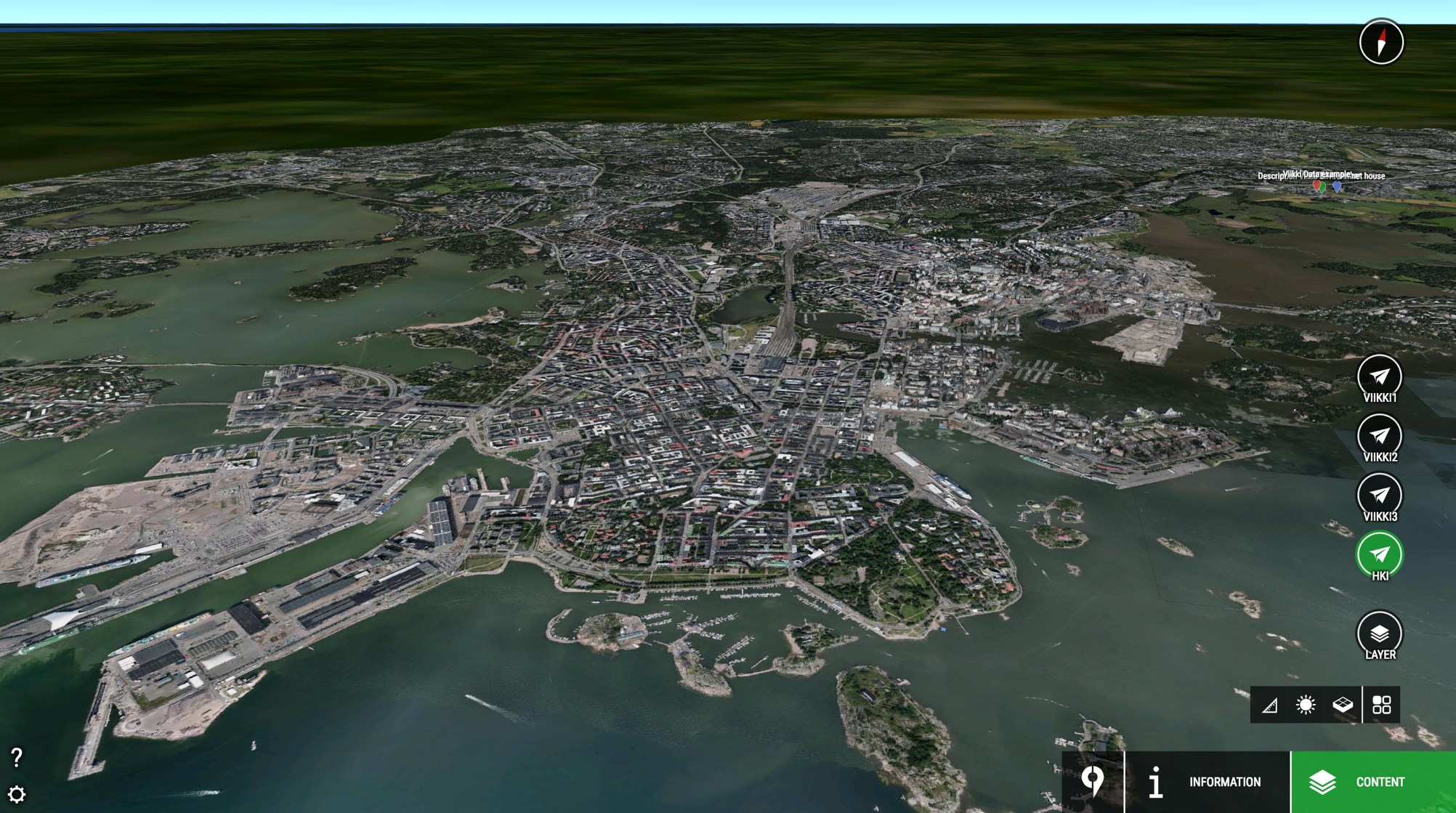
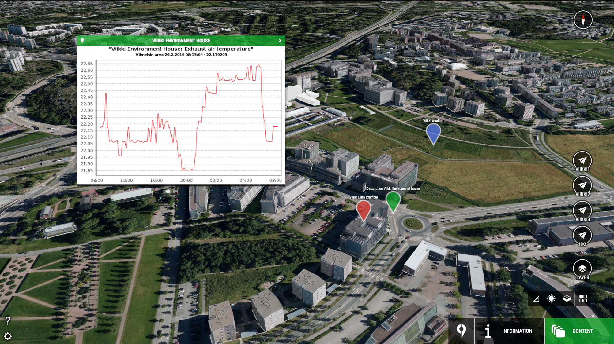
CityPlanner is a browser-based software to communicate city information. The interface features a 3D model of the city. Data is accessed through browsing the map and clicking on sites or elements, such as buildings. The open data sets associated with mySMARTLife interventions are highlighted on the map as hovering location tags. For example, the graph in the image below shows real time data measured from the Viikki Environment House. In this case, the data indicates the exhaust air temperature of the building.
The goal is to embed mySMARTLife Helsinki intervention data sets in the CityPlanner. Embedding tests are currently in progress. When the embedding is done, CityPlanner allows the user to pinpoint the actual locations where the interventions in Helsinki take place, and the project data can be easily accessed and visualised through the tool. The tool can also show relevant data from other sources such as weather data from the Finnish meteorological institute . All in all, the tool can be used in the project to show visualised data in various project actions as well as to gather feedback from the users connected to the actions.
Check out the CityPlanner of mySMARTLife Lighthouse City Helsinki at: https://cityplanneronline.com/helsinki/mysmartlife


